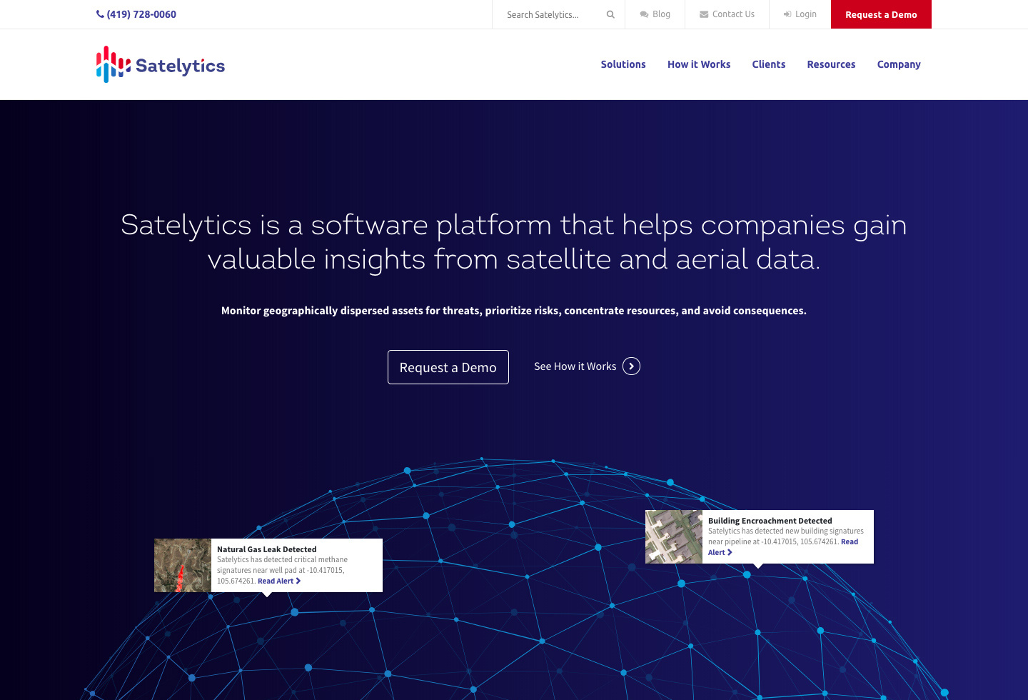
Satelytics was on the forefront of remote sensing science. Whether it's monitoring thousands of miles of pipeline for leaks or the Great Lakes regions for pollution and algae, Satelytics was poised to become the most valuable tool for environmentalists and energy companies alike.
Brand
Partnering with a third party, the Satelytics brand focused around a central message of taking terabytes of scientific data and transforming it into useful visualizations for environmental and energy companies.
Tasteful blue and red stepped gradations complement the logo, and a sharp typeface, Intro, was brought in to modernize communications and convey the edgy, revolutionary attitude of the brand.
Public Website
Satelytics had a customer education challenge: using such a new technology means that even the most seasoned professionals needed to learn what Satelytics could do and how.
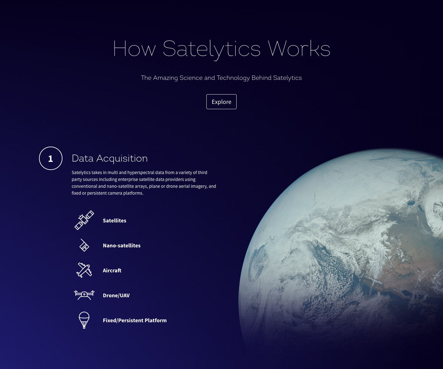
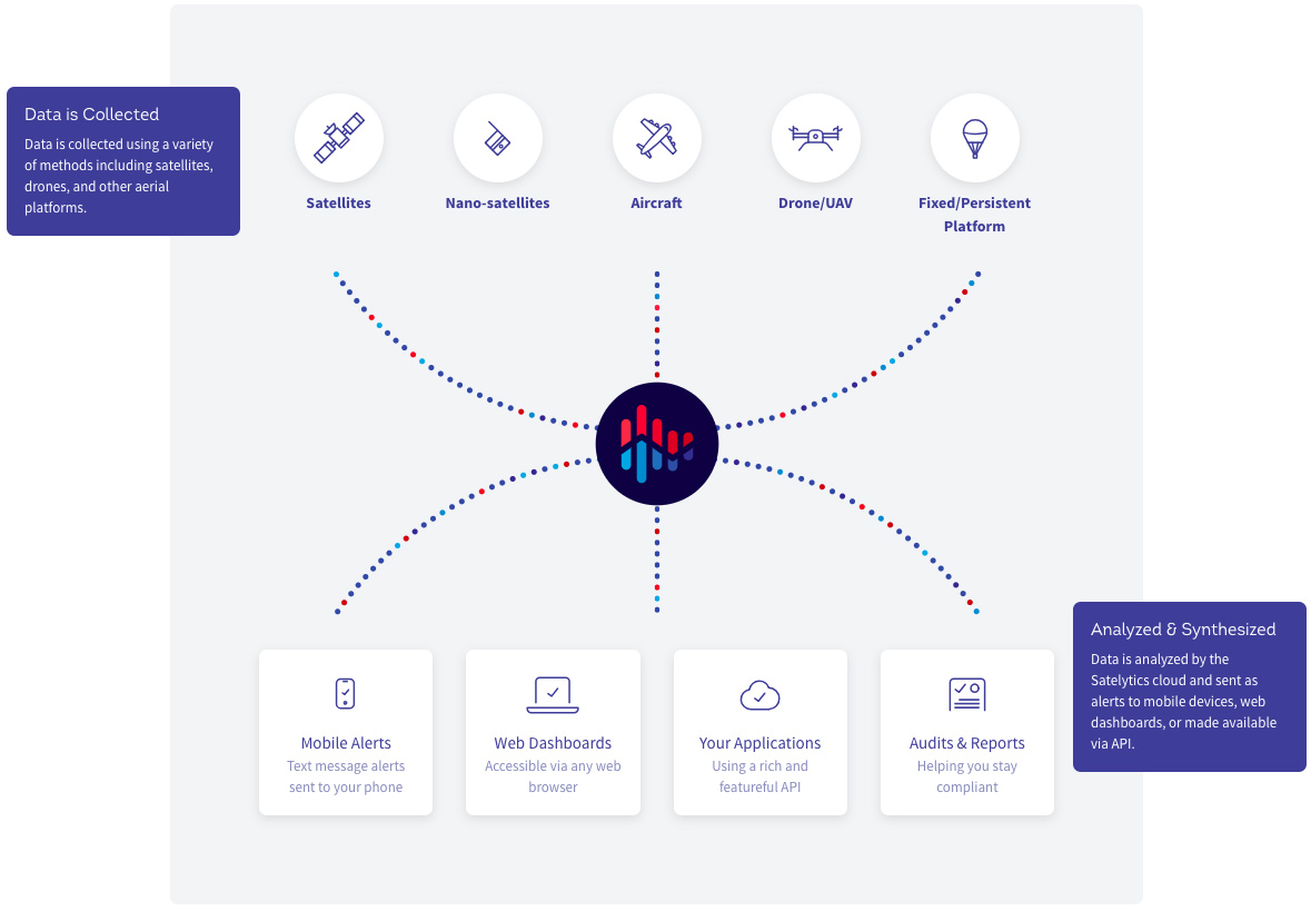
The centerpiece for the website, then, was a longform page that took prospective customers through the science behind satelytics and the capabilities therein.
Combined with compelling iconography, infographics, and data visualizations, the new website helped tell the amazing story and science behind Satelytics.
Content & Social
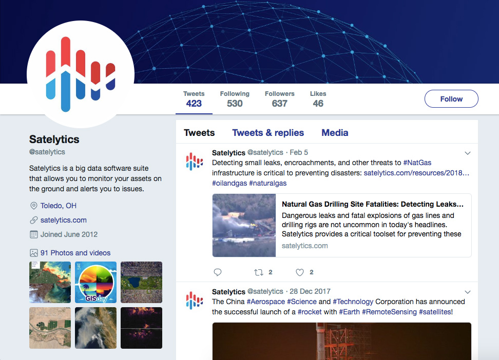
Customer education didn't stop at the website. A robust content strategy designed for maximum timeliness and shareability was designed and shared on Twitter, Facebook, and LinkedIn among others.
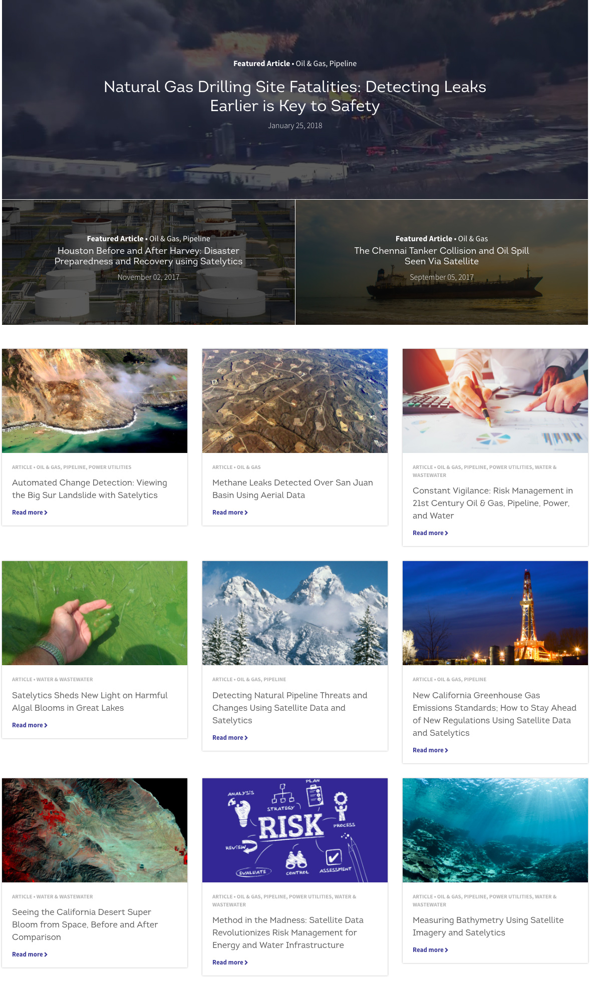
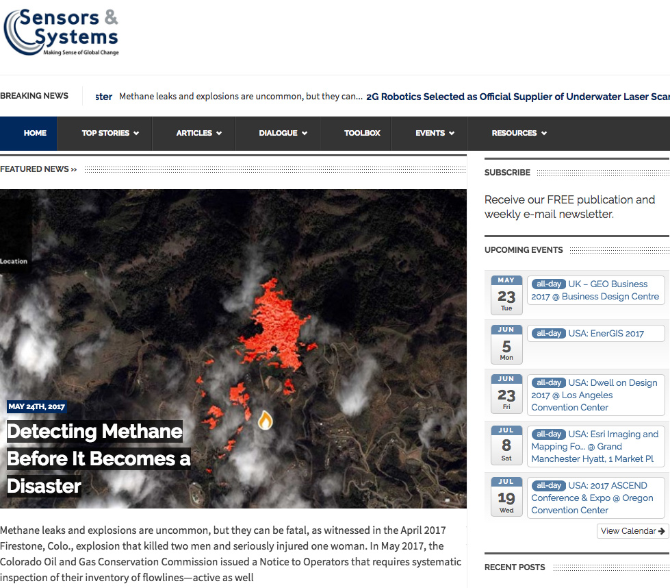
A full featured resources section featured latest work and timely data centered around natural disasters, oil spills, and environmental pollution created content that was irresistibly sharable.
Application
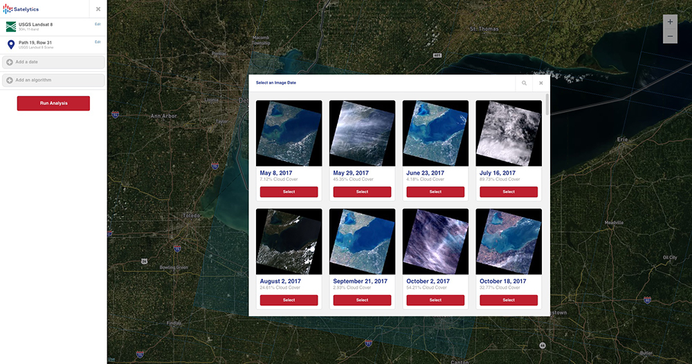
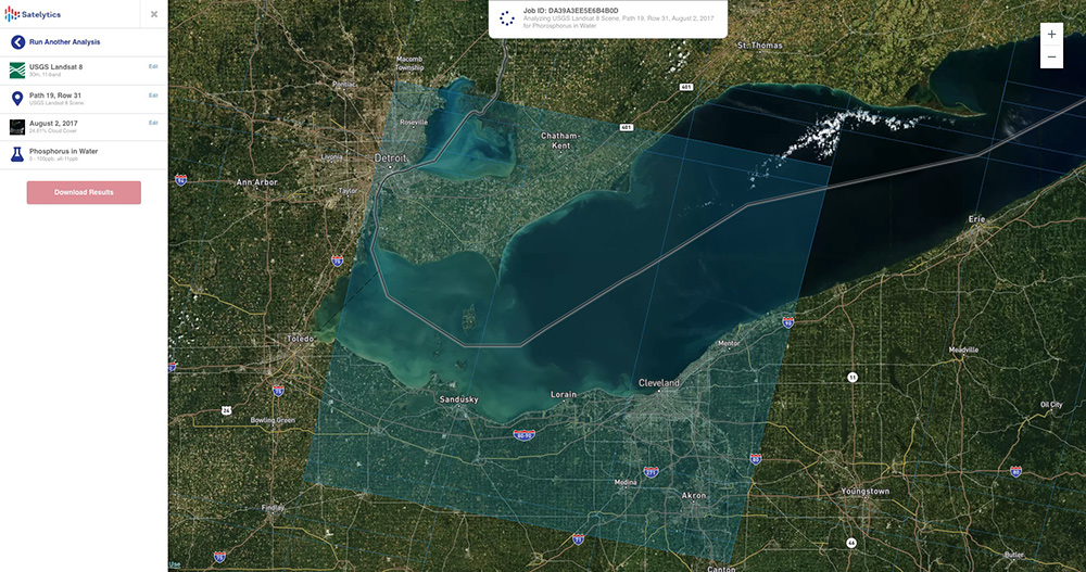
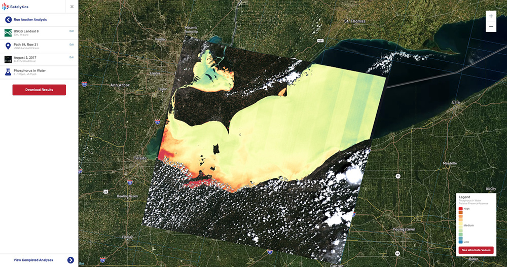
Satelytics had a robust consumer interface that allowed organizations to select regions to collect satellite data to be processed by our automated platform.
Users could select a data provider, a location, a timestamped scene, and an algorithm that would be run on the fly using our AWS FaaS platform.
View Full Size